| |
Order a modern Ordnance Survey street-view map
Centred on any UK* Town, Postcode or Street
(*England, Wales, Scotland & Channel Isles only, N.I. NOT included)
OR - download a ready-made map, fully printable
THE MAP:
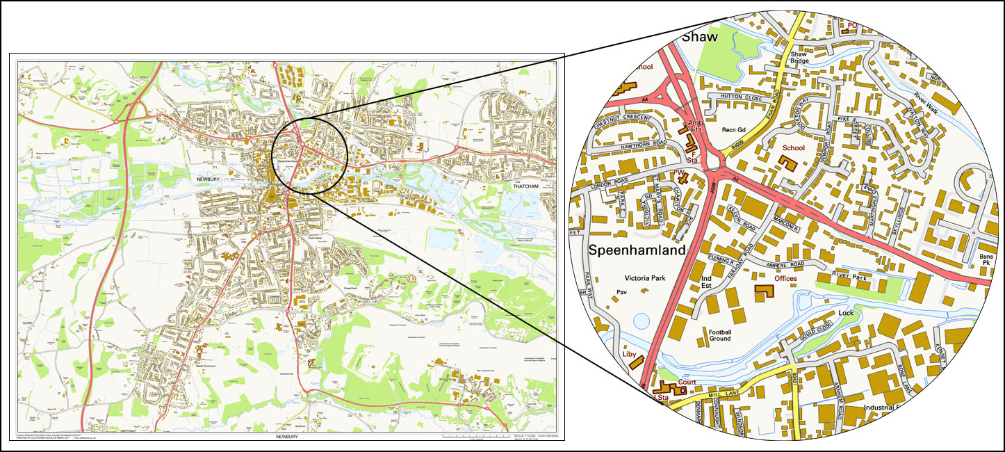
The map will be from the OS survey of 2011*, and contain very detailed road, railway, building, woodland and water
information, and will show an area of 5 x 3.4 miles.
PLEASE NOTE: as you can see from the example below, Ordnance Survey have not included the names of some small side-roads,
probably due to lack of space.
*Contains Ordnance Survey Data © Crown copyright and database right 2011
USES:
Ideal as wall-map for home, hotel, pub, office, tourist information or school
Compare these new maps with our old ones to trace building development
THE SCALE:
The scale (1:10,000) is almost equivalent to the old 6" to the mile (1:10,560) OS County Series maps
Area coverage of 8 x 5.5 kilometres (5 x 3.4 miles)
THE PRINT:
The sheet measures 84cm x 59cm (33 x 23 inches)
The printed area measures 80cm x 55cm (31.5 x 21.5 inches)
THE COST:
£17.99 per printed map, plus £2.50 P&P
Please see the samples below
TO ORDER:
In the box below, please enter EITHER
1. a postcode
2.
or a town name and its county e.g. Maidstone, Kent
Then click the Buy Now button
SAMPLE MAP (below) - Newbury, Berkshire
|