CLICK HERE TO RETURN TO THE OLD MAPS OF SHROPSHIRE
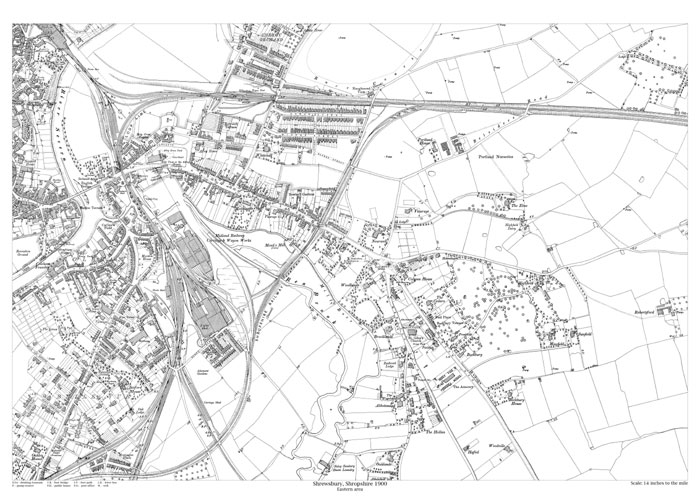
Shrewsbury (east) 1900
Size: 21.5 x 15.5 inches
Scale: 14 inches per mile
Type: reproduction
PRICE: £7.99
Showing the area from Cleveland Street in the north to Oaklands in the south, and from Wyle Cop in the west to Robertsford in the east.