CLICK HERE TO RETURN TO THE HUNTINGDONSHIRE MAP SHOP
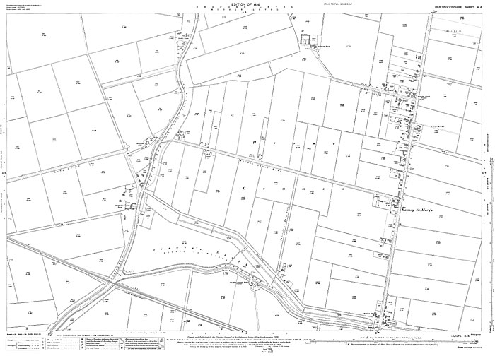
Ramsey St. Mary's (N) 1926
Size: 23 x 16 inches
Scale: 14 inches to the mile
Type: complete facsimile, flat sheet
PRICE: £7.99
Ramsey St. Mary's is in the eastern half of the map, showing from beyond the White Lion pub in the north down to Ramsey St. Mary's Bridge and The Railway Inn in the south. In the western half of the map the River Nene runs south to north, showing from Nightingale's Corner in the south up to Stoke's Farm in the north.