CLICK HERE TO RETURN TO THE OLD MAPS OF HEREFORDSHIRE
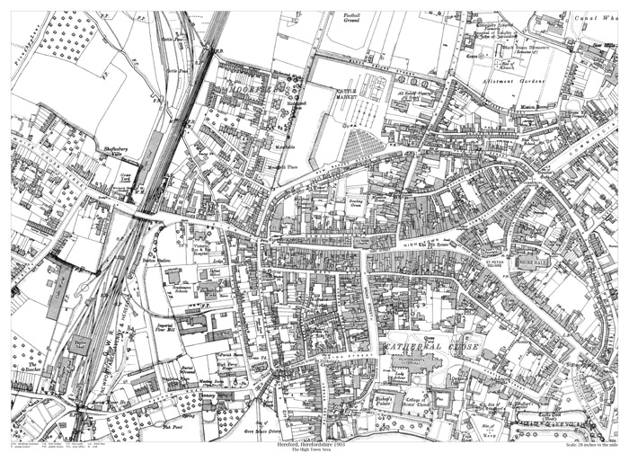
Hereford 1903 - High Town area
Size: 21.5 x 15.5 inches
Scale: 28 inches to the mile
Type: reproduction, flat sheet
PRICE: £7.99
Showing the area from Black Friars Street in the north to Barton Road in the south, and from the Cider Works in the west to Bath Street in the east.
This map includes Shire Hall, the Cathedral and the Castle site.